

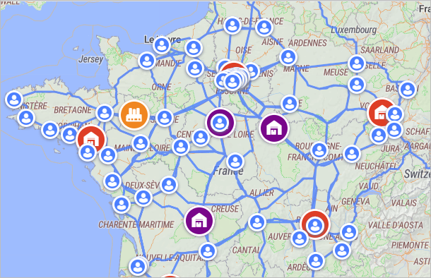
The connections of the supply chain elements are visualized on the GIS map and in the Structure view. These connections depict the sourcing that is defined by a user in the anyLogistix tables.
By default the connections are not depicted, you enable them by clicking the
 Show connections button in the GIS map
filter options.
Show connections button in the GIS map
filter options.
The available connection is the connection that is properly defined in the basic anyLogistix tables (the set depends on the scenario type): Demand, Paths, Sourcing, Shipping, Inventory, Product Flows and Product Storages.
The default values of these tables allow connections to be created instantly on adding a new object to the scenario.
E.g. When you add a new distribution center to the SIM scenario containing customers, the sourcing policy automatically (dynamically) detects customers that will be
supplied by this distribution center.
This set of customers is updated each time this distribution center is moved or another distribution center is added.
When properly defined, the sourcing is visualized on the map via connections.
The defined connections may not be shown on the GIS map because the defined data is either incorrect or affects connection visibility.
By default the records of these tables consider all objects and all possible connections between them, which eliminates the possibility of data inconsistency.
The possible issues may refer to:
- Excluded object (or group of objects) from the supply chain. For example, if the Inclusion type of a customer is set to Excluded, this customer will not be shown on the GIS map, the connection leading to it will not be drawn.
- Incorrect parameters of a custom sourcing policy. For example, a path is not defined for a pair of objects.
- Missing product flow or product storage in case of the Network optimization scenario type.
- Missing inventory or shipping in case of the Simulation scenario type.
- Supply chain containing customers only.
- Missing paths.
- Absence of demand. If an object has no demand, a connection will not be created, since there is no need to make deliveries to it.
-
Incorrect product measurement unit in one of the tables. This may be the case when converting a scenario from the GFA type to NO and SIM types.
The Paths and Vehicle Types tables acquire new data with the default measurement unit.
So if your product is measured in e.g. pcs, anyLogistix will consider certain routes unavailable for this product.
A missing conversion of a measurement unit to e.g. the used vehicle type's capacity unit may also be the issue.
-
How can we improve this article?
-